What do you need to know?
Share the site, your goal and the timing. Plans and a few photos are a useful starting point.
 Let’s talk ↗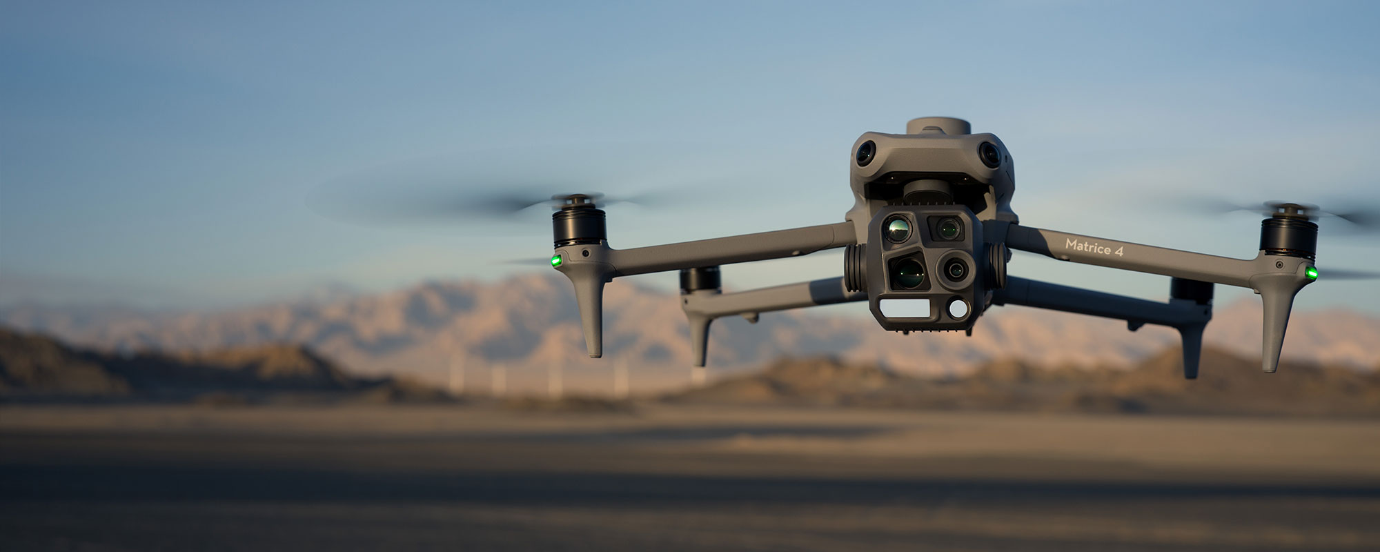
TERRASOUTH MAPPING / AERIAL INSIGHT
See the detail.
Understand the bigger picture.
01 / A DIFFERENT PERSPECTIVE
Good decisions start with a clear picture. We help you see what’s there, what’s changed and what needs a closer look.
TerraSouth delivers drone mapping and aerial imagery for construction, agriculture and asset monitoring. We turn a wider view of your site into information you can use.
From tracking a build to inspecting a roof or capturing your property, tell us what you need to see. We’ll work with you to plan the capture and the right deliverables.
02 / WHAT WE DO
From a broad overview to the smallest detail.
Choose a service to find out more.
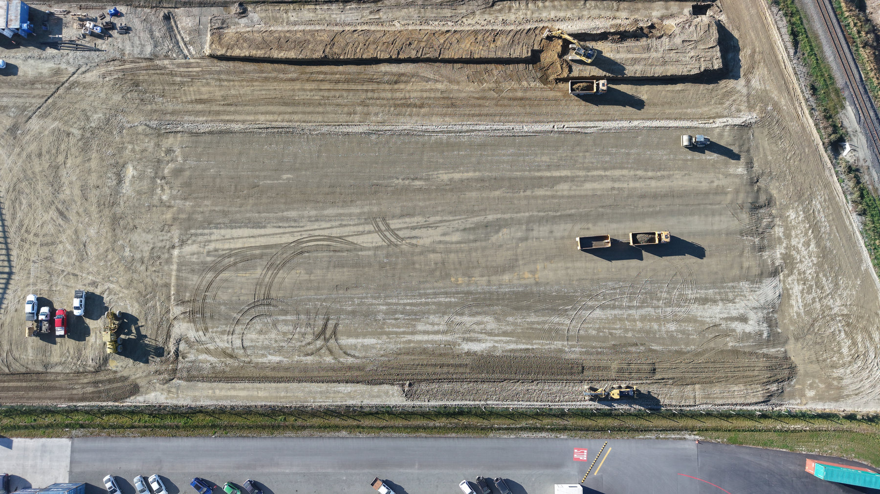 AERIAL SITE OVERVIEW
Aerial mapping and repeat photography help you follow site progress, review earthworks and share a clear picture with your team.
Discuss this service ↗03 / THROUGH OUR LENS
04 / THE TOOLS BEHIND THE VIEW
Our DJI Matrice 4E and 4T platforms support mapping, visual inspection and thermal capture. We match the equipment and flight plan to the question you need answered.
Mapping & visual capture
Thermal & asset inspection
05 / FROM BRIEF TO BIGGER PICTURE
Share the site, your goal and the timing. Plans and a few photos are a useful starting point.
We’ll discuss access, flight conditions, permissions and the imagery or data your project needs.
Agree on the outputs up front, so the delivered imagery and data fit the way you work.
06 / LET’S GET STARTED
Have a site in mind or a question to answer?
Tell Ben what you’re planning.